*I hope people use their own wise judgement when hiking always plan ahead and be prepared. One should never go beyond their abilities.*

Over the years I've had a few goals my first was to Summit all the Peaks of Waterton. Here is My Waterton Summit List I completed that goal on September 26, 2016.

My next goal I'm still working on and that is to summit the 6 10,000 foot Summmits of Glacier National Park. I have one left Kintla.

My 2018 Goal that I accomplished was to summit 40 peaks in my 40th year and that I finished on September 26, 2018.

Not sure what will be my next goal, once Glacier's Summits are done?

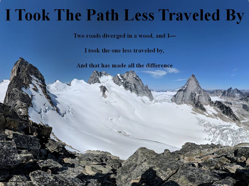
I commonly use 3 Hashtags on my social media. The first one is #itookthepathlesstraveledby which is to reference this blog. The next two relate to my father and grandfather who were also hikers. #milesformarkellingson is to remember my
Dad, Mark Ellingson and #dustfromthetrailandhowitsettledonme is to remember my Grandfather Earl Ellingson

September 27, 2018

Bellevue Hill, Mount Galwey, Mount Dungarvan SE2, and Lakeview Peak Sept 26, 2018 Waterton Lakes National Park

So today I set out to finish my goal of 40 summits in my 40th year.  And I figured I'd go out with a bang in Waterton.  I hadn't hiked in Waterton all year and the last time I had hiked in Waterton I was chased off a mountain by a helicopter!  Anyways as I got up in the morning I got a reminder on Facebook that it was two years ago today that I had finished my last summit to complete my last goal to climb all the mountains in Waterton.  How fitting that I finish this goal on the same day and in Waterton!  Anyways the forecast was for a great day.  We drove to the Bison Paddock and started our big loop from there.  It was a super long day and we had to use headlamps the last hour to get out.  The route we took I hadn't taken before but because of the fire it was a lot clearer than it would have been years before.  The wind was about the only down side to today, it was howling at times and made our summit stays a little shorter.  The views were great even though there was a little cloud cover most of the day.  I can now take some time off hiking as I'm a little tuckered out as I did all 40 peaks in about a 6 month window.  Not too shabby!

Start to our beautiful day!

Burned trees going up Bellevue

Our objective ridge in the background with burned chard trees in the front

A pretty false summit view of Bellevue

View from Bellevue looking towards Blakiston and Galwey

Chard trees on the ridge to Galwey

One lone Larch tree by the window of Galwey, not too many of these left in the park

The window of Galwey

Summit of Galwey

A few more Larch trees down below the summit of Galwey

Chard Crandell Lake area, the trees around the lake all gone

The connecting ridge to Dungarvan SE2 was probably the hardest portion of our hike but wasn't too bad

That same ridge looking back at Galwey

On top of the high point (unnamed peak) between Galwey and Dungarvan SE2

Cool Pinnacle tower, I remember the last time I passed here wondering how this hasn't fallen over?

Cool silhouette picture as the sun got lower

From Dungarvan SE2 looking back at what we had climbed

Looking at where we would descent and then Lakeview on the Right

Cool fall colors of the prairie north of Lakeview, notice the burned trees section from last year

The burned horseshoe basin

40 finally done!

Track of Hike

3D flyover of hike


September 24, 2018

South Sister Attempt September 22, 2018 Three Sister Wilderness Oregon

Well this was going to be a good one.  I was going to fly down to Oregon and visit my brother and go hiking with him.  This was going to be my 5th 10,000ft plus summit for the year and it was going to be my first hike through the night and summit at sunrise hike.  Well the weather changed everything.  We got to the trail head at about 12:00am on the 22nd and we were on the trail by about 12:30 am.  The weather forecast was to be nice and there was almost a full moon and as we started our hiking there was hardly a breeze.  The sky was clear and we had a great first couple hours of hiking.  Then as we got higher we noticed some clouds rolling in and we thought nothing of it.  Eventually we got to about 7800 feet and the wind really picked up so we decided we were probably going at a pace too fast that we would reach the summit before sunrise.  So we stopped and rested for probably around an hour.  Then we noticed the cloud cover was really coming in and so we decided that it would be better to descent a little and get to a warmer more sheltered area and hunker down for a bit.  We did and then at about 6 am when we woke up we noticed the cloud cover was even lower and the wind was about the same.  So we decided we better just give it a shot.  So we climbed and passed a few people coming down so said it was too sketchy and so they turned back.  We did notice that as we climbed higher the elements worsened.  At first it was just windy and foggy but by the time we turned around it was very windy, rainy, cold and foggy.  We were all wet and cold and the next 1300 feet to the summit was totally exposed to the elements and so we packed it in.  We got to about 8900 feet and as we descended we noticed many other parties attempting the mountain and we told them it was nasty.  Anyways since I didn't want to have come all this way and not summit I noticed on my map that there was a little named summit on the way down we could bag.  It was called Devil's Hill and so we summited that to at least have something to show for.  It was just over 7000 ft.  The worst part of the day was once we came down just around noon time we noticed the weather started to turn and even worse as we drove back and passed through Bend Oregon we could see the mountain and it was still in the clouds but the weather looked much better and the rest of the day was sunny and nice.  We picked like the worst possible moment to do this hike.  But oh well better luck next time!

Beginning of our hike

Moon bright as can be as we started

This is what it looked like at about 6am

The fog got thicker as we climbed

This was one of the best trails I've ever used and there were lots of markers along the way

Weather getting worse

This was a few minutes before we turned back

On descent we figured we had to get a picture with a sign.  We were very wet at this point and cold.

View down on a lake called Moraine Lake....not quite as pretty as Banff's Moraine Lake

On our way up to Devil's Hill through a really neat forest that had no bush to fight through

Not much of a summit but I'll call it one!

Looking down Devil's Hill into the fog

Descending into the fog from Devil's Hill

End of hike

The view just after Bend, South Sister in the left of middle and middle and north Sister on the right of middle.

Track of Hike


Wynn Mountain Glacier National Park September 19, 2018

Today didn't look very promising with relation to the weather and well, it turned out to be just that.  We headed up and decided at Cardston that the Many Glacier area looked the best and we figured we'd try out Wynn Mountain.  The first while the tops of the mountains were under cloud cover and eventually we got high enough that we were in that cloud cover.  There was the odd time that it looked like it would clear, but it never did.  We stayed on the summit for quite some time because it looked like it could break but it didn't.  The hike wasn't bad and the view would have been great.  We did get a good look at Cracker Lake upon descent.

Our view at Many Glacier in the morning

Wynn Mountain in the clouds

Creek bed we climbed up

If this creek bed was full of water it would be a little trickier

Continuing up the creek  bed

Our first view of Cracker Lake in the middle

Our view up the gully we climbed up

On the summit looking down through the fog

The Summit Cairn

One of the moments it opened up to see Cracker Lake

Pretty similar looking cloud cover as on approach

The fall colors were in full force today

More fall colors

Sunset at Many Glacier

Track of Hike