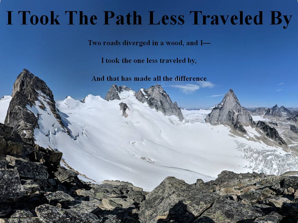
*I hope people use their own wise judgement when hiking always plan ahead and be prepared. One should never go beyond their abilities.*

Over the years I've had a few goals my first was to Summit all the Peaks of Waterton. Here is My Waterton Summit List I completed that goal on September 26, 2016.

My next goal I'm still working on and that is to summit the 6 10,000 foot Summmits of Glacier National Park. I have one left Kintla.

My 2018 Goal that I accomplished was to summit 40 peaks in my 40th year and that I finished on September 26, 2018.

Not sure what will be my next goal, once Glacier's Summits are done?

I commonly use 3 Hashtags on my social media. The first one is #itookthepathlesstraveledby which is to reference this blog. The next two relate to my father and grandfather who were also hikers. #milesformarkellingson is to remember my
Dad, Mark Ellingson and #dustfromthetrailandhowitsettledonme is to remember my Grandfather Earl Ellingson

May 28, 2016

Mt. Galwey May 28, 2016

Every year our church hosts a Father's and Son's camp.  This year on the Saturday I decided I would extend the event and have my own time with my two son's.  So I decided we could do a hike after the camp-out.  So we finished up our camp and packed up all our stuff and headed to Waterton.  We got there and started heading up Mt. Galwey.  I had done this hike many years earlier and remembered the way quite well.  I did forget how it may not be a suitable hike for those afraid of heights.  There is a pretty sketchy section where you need to traverse a cliff ledge with a huge drop below you.  I was very careful with my youngest who was only 8 on this day.  His birthday was actually the next day so he is really 9.  It was his second ever summit and not a bad one.  It was a great day we had a bit of wind and a little snow from time to time but the summit view was clear and sunny.  We headed down and really ran into no difficulties the entire way.  Great day spent with my son's!

This was also the first hike I haven't used Google Tracks. Funny because it worked tracking on my phone just like usual but the app won't let me share the link and thus I can't get it to this website.  So for now I'll just keep using Mapmyhike instead.

The beginning of our day, clear skies to the north, but a little less clear to the south.  Galwey the peak in the top center.

I haven't hiked much in the spring but the flowers of Waterton were out in full bloom today

More Flowers

Not sure of the name of any of these but they were pretty

Another flower

Blakiston in the background

Little creek we crossed just before the shale section

Parker didn't enjoy his first shale experience... he almost wanted to turn around!

Great view of the Red Rock area to our west.  Mt. Anderson just to left of center.

Cold enough for icicles!

The neat window of Galwey, great view of the prairies.

The boys in the window

Lakeview peak on the left of center, Carter and I had done that a few months earlier.

Summit Cairn Picture, there was actually a register in this one!

Another view of Blakiston

View of the ridge spine we came up.

Took this picture to show mom!

Coming down got out the tripod to get me in a couple pictures.  Crandel Lake right in the center of this picture.

Turned the tripod around and view of Galwey behind us!

Beautiful view looking towards Sofa Mountain

Buchanan Ridge south of us with Crandel lake in the middle of picture

Google Sphere Picture on Top

Panorama on Summit

Video on Summit

MapMyHike Link of Hike

May 21, 2016

Old Baldy Chetwynd B.C. March 26, 2016

We had driven up to Chetwynd in northern B.C. to visit my sister and her family for the Easter weekend.  It was a long drive, kind of reminded me of driving up to Yellowknife, just trees the entire way.  The one day we were there my sister said there was a nice lookout hike that we could do with some of the kids if we wanted.  Nothing too hard or difficult, but still worth the view.  So a few of us headed up and took our little hike of Mt. Baldy in Chetwynd.  It was a little windy but a good little hike and view.

The start of our hike

Resting on the way up

First flower I'd seen for the year

On top

View down on Chetwynd

Panorama from the top

Map My Hike Track of Hike

Google Track of Hike

Stats of Hike (I forgot to end the track when finished so we drove into town a bit):
Total distance: 3.32 km (2.1 mi)
Total time: 1:15:57
Moving time: 57:54
Average speed: 2.62 km/h (1.6 mi/h)
Average moving speed: 3.44 km/h (2.1 mi/h)
Max speed: 44.10 km/h (27.4 mi/h)
Average pace: 22:53 min/km (36:49 min/mi)
Average moving pace: 17:27 min/km (28:04 min/mi)
Fastest pace: 1:22 min/km (2:11 min/mi)
Max elevation: 880 m (2886 ft)
Min elevation: 630 m (2067 ft)
Elevation gain: 179 m (587 ft)
Max grade: 28 %
Min grade: -35 %


Recorded: 3/26/2016 2:36 PM