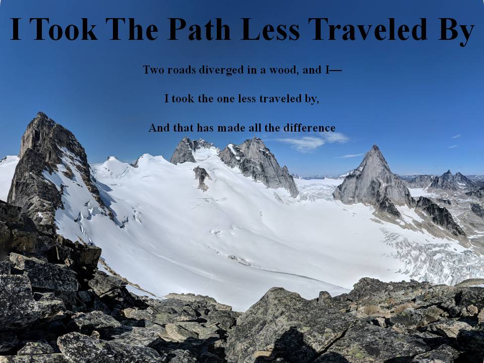
*I hope people use their own wise judgement when hiking always plan ahead and be prepared. One should never go beyond their abilities.*

Over the years I've had a few goals my first was to Summit all the Peaks of Waterton. Here is My Waterton Summit List I completed that goal on September 26, 2016.

My next goal I'm still working on and that is to summit the 6 10,000 foot Summmits of Glacier National Park. I have one left Kintla.

My 2018 Goal that I accomplished was to summit 40 peaks in my 40th year and that I finished on September 26, 2018.

Not sure what will be my next goal, once Glacier's Summits are done?

I commonly use 3 Hashtags on my social media. The first one is #itookthepathlesstraveledby which is to reference this blog. The next two relate to my father and grandfather who were also hikers. #milesformarkellingson is to remember my
Dad, Mark Ellingson and #dustfromthetrailandhowitsettledonme is to remember my Grandfather Earl Ellingson

September 26, 2016

Mt. Glendowan September 26, 2016

Well I finally got them all done.  Today was a great day, it would have been perfect if the wind had been less in Waterton, but that doesn't always happen.  My son and I got up early and headed to Red Rock Canyon.  We had a beautiful sunrise and started hiking.  I wasn't sure which route we were going to take, as I had read a few online.  But once we got there we elected to take the South ridge route.  It seemed the easiest and we could see a fair amount of snow on the ridges around the summit so we figured it would also be the safest.  So we headed down the snowshoe trail for about 2 km and started heading up the creek bed.  We went a ways then left the creek bed and bushwhacked for about an hour.  It's funny because a few peoples' reports on line said that they dreaded the bushwhacking, but we found it actually not bad at all.  There was a time or two that it was tough, but compared to bushwhacking up Mt. Cleveland's west bowl it was easy.  Anyways we cleared the trees and it was scree or scrambling the rest of the way.  From here, though the wind really picked up and we dealt with a very windy day the rest of the way. It made things difficult on the snowy ridge near the top because as we hiked along the ridge spine at times we almost had to crawl so we wouldn't get blown down the cliff on either side of the spine.  We eventually summited, didn't stay long because of the wind, and some of the pictures were hard to take because the camera was being blown around and couldn't focus with the movement by the wind. On our way down we came across a lone hiker on his way to the summit.  We gave him a few pointers and wished him luck.  We descended the same way we came and finished the hike early for once.  My wife was quite surprised we had finished so early.  All in all a great day, but the best part was I am finally finished all the named Waterton Peaks!!!!!

Beautiful sunrise on the way to Waterton

We were the 2nd vehicle at Red Rock that morning, Glendowan is the summit in the center of the picture

Heading up the creek bed (Summit on left)

Paused in a clearing for a break from bushwhacking

Summit Block in sight

Hiking on the snow

Looking down on the valley below with Mt. Anderson behind 

Nearing the top (snow covered Mt. Blakiston behind)

Summit block, we scared away 4 goats, they are in the middle of the picture running away

Getting ready to climb the summit block looking back at the snowy ridge we traversed

Heading up the summit block

Summit attained

My final Waterton Summit

On our way down, the snow was melting and we could see the difference on the way down

Picture of Carter in front of the summit block

Cliff shot looking down the snowshoe trail valley

Picture in the bushwhacking

Looking back up at the summit ridge, hardly any snow now

Driving out on Red Rock Road with beautiful fall colors on the trees


September 25, 2016

Mt. Boswell September 24, 2016

One more off the list.  This one is a complicated hike.  Lots of factors have to align just right in order to do this hike.  First off you have to get across the lake.  I'm not the swiftest hiker so the Crypt lake shuttle doesn't afford enough time if you run into troubles.  So I would use my own transportation to get across, unfortunately unless you own a motor boat, a canoe is the only option.  If you canoe the weather has to be right, ie. no wind...in Waterton...yeah right!  Next you want to do it later in the season because you need to fjord a river and want is lower if possible.  So anyways these conditions seemed favorable on this day and even though they were not ideal, we did get it done.  So my son and I headed up early in the morning and were canoeing across the bosporous by sunrise.  It was windy and thus we only went across the bosporous and hiked from there to the crypt landing.  We left our canoe on the shore and upon return there was no canoe?  I guess we hadn't hidden it well enough from the wind and it had blown like 50 feet down the shore, it had a big dent in it but luckily...and I mean luckily it was still there otherwise that would have been a long hike out that night.  Anyways we eventually got off the trail just after Burnt rock falls and bushed through the bush for a bit and eventually came to the stream/river.  I didn't think it was that wide but where we crossed it was probably about 15 feet across and about 2 & 1/2 feet deep.  We made it and started heading up the west slope of Mt. Boswell.  It was a pretty steep hike up to the summit, and we were dreading coming down such a steep incline.  We reached the summit and had a beautiful view all around.  The higher peaks had snow on them which made for some great views.  We found the summit register and as my son was looking through it we noticed that on Aug 23, 2000 my old roommates Brian and Gerry Stewart had summited on that day.  On that date I was actually living with them.  It was great to see that in the register.  It has been around 13 years since their passing and it was good to reflect on their lives as we hiked the rest of the day.  Our descent wasn't too bad, we took it really slow as we knew we didn't have to rush back to the boat.  The fall colors this day were great to see in the Park.  We eventually as mentioned above made it back to our canoe, that being a little tender mercy that it was still there.  We canoed across in much less wind and packed up and headed home.  Now just one more named summit to go!!!

Sunrise view of Prince of Wales with Crandel as the back drop

Loon Lake with Richards behind it

Fresh Bear track

Crossing the stream

Crypt Falls

West slope of Boswell we climbed up

Not sure why some of the needles turn this color?

Looking down on where we came from, Crypt Lake just in view on center right

As mentioned above summit register page with Gerry and Brian's ascent (side note their father Cal, was the Doctor that delivered me as a baby)

View of Upper Waterton Lake and the townsite from the summit

Summit Picture

Close up of the townsite with snow caped mountains in the distance

Crossing the stream again

There didn't seem to be a narrower crossing spot

Fall colors were great

Loon lake again with Vimy behind it

More fall colors!

Panorama on Summit


September 03, 2016

Cloudy Ridge Waterton September 3, 2016

Today the plan was to try and summit two peaks, the first was Cloudy and the second was Glendowan.  Well as Waterton weather is very unpredictable we were only able to summit Cloudy. Which maybe was a good thing because I don't think one can traverse the ridge connecting Cloudy and Glendowan.  We didn't get a real great view of that ridge from Cloudy but it looks tough, so it was maybe good that we didn't try it today.  Anyways about the hike we got about half way up the mountain when it started to rain and then eventually snow.  The wind was blowing like crazy and it was almost blizzard like conditions.  Luckily we were able to seek shelter on an east facing overhanging cliff band.  We did get a little chilled as we waited for probably a good 30-45 minutes and as a result I had to get out an emergency reflective blanket and we three hikers all "snuggled" under that to keep a little warmer.  Eventually the sky cleared and we had intermittent clear skies and terrible blowing snow and poor visibility the rest of the way.  Once we reached the summit we did have a few minutes here or there of clear views but not for very long.  We then headed down the same way we came and once we reached red rock canyon the weather had turned quite pleasant.  Good day and one more summit off the list...two left now.

Heading up the grass slope after Red Rock Canyon and doing a little bush whacking

Anderson Peak in the clouds

Beginning of the snow

Trying to stay warm in the snow storm

The west side of this tree covered in snow from the wind blowing so hard in that direction

Mountains all covered in snow...if we could actually see them through the clouds

Snowy ridge

Clouds opened up from time to time and we could see stuff around us, this was Dungarvan Peak coming into view

Nearing the summit block

Last corner in the clouds just before the summit block

We fixed the Cairn

Looking west towards what we had hoped to climb up...looks impassable to me from here

On the summit with the new fixed up Cairn

Another view looking west to where we had planned hiking earlier in the day

I usually don't push rocks down the mountain but we were truly the only ones on it today so we rolled a few down.  This one we tried moving for like 20-30 minutes and eventually gave up... it was too big.

Last shot of the ridge we had hoped to climb over.  Maybe we'll try it from the other way when I do Glendowan in the future.
Short video of storm

First Panorama (cloudier) of Summit