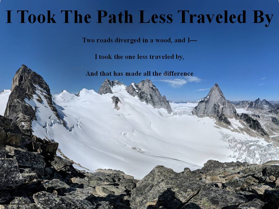
*I hope people use their own wise judgement when hiking always plan ahead and be prepared. One should never go beyond their abilities.*

Over the years I've had a few goals my first was to Summit all the Peaks of Waterton. Here is My Waterton Summit List I completed that goal on September 26, 2016.

My next goal I'm still working on and that is to summit the 6 10,000 foot Summmits of Glacier National Park. I have one left Kintla.

My 2018 Goal that I accomplished was to summit 40 peaks in my 40th year and that I finished on September 26, 2018.

Not sure what will be my next goal, once Glacier's Summits are done?

I commonly use 3 Hashtags on my social media. The first one is #itookthepathlesstraveledby which is to reference this blog. The next two relate to my father and grandfather who were also hikers. #milesformarkellingson is to remember my
Dad, Mark Ellingson and #dustfromthetrailandhowitsettledonme is to remember my Grandfather Earl Ellingson

June 23, 2019

Chief Lodgepole Peak and Grizzly Mountain Glacier National Park June 19,2019

Today was a long one, and very windy.  The forecast for today looked pretty nasty everywhere, but the best looking place was the Two Medicine area of Glacier National Park.  We took the boat to start and that saved us a couple of km's.  On the way up to Cobalt lake we ran into a moose on the trail.  It took us a bit to get  him to move as he was right on the trail.  It may have been the closest I've been to a moose ever, pretty neat.  Anyways in the valley up to Cobalt lake the wind wasn't too bad but as soon as we gained the ridge before we summited Chief Lodgepole peak.  The wind was pretty strong at times and it was one of the windier days we've had in a while.  The summit stay on Grizzly was very short lived because it was so cold on top.  We had narrowly missed a few rain systems that had passed by but we had been snowed/hailed on a few times and on the way down the wind seemed to get stronger and we did get a little more rain.  Luckily we got back into the valley and it wasn't as strong.  We missed the return boat by about an hour and so had to walk all the way back to the parking area at the head of Two Medicine Lake. 

On the boat Sinopah looking at Sinopah.  

The moose we saw looking at us

First Bear Grass of the season

Rockwell Falls

There was a tonne of Glacier Lillies on the way up

Beautiful Creek on the way up to Cobalt Lake

There was still a bunch of snow on the trail to Cobalt Lake

Cobalt Lake with Painted Tepee Peak on the left

Where we ate lunch looking down on the valley we climbed up with Two Medicine Lake in the middle

Another shot of Cobalt Lake and Two Medicine Lake on the left

Our first view of Grizzly Mountain in the middle

Huge snow drift on top of Chief Lodgepole Peak

On the big drift looking back at Rockwell Peak

Summit cairn of Chief Lodgepole and Grizzle Mountain behind it

Wonder if anyone is brave enough to stand on that rock, kind of reminded me of Kjeragbolten that rock on Norway

Mt. St. Nicholas in the middle

Getting close so summiting, looking for a little wind shelter

Summit photo on Grizzly

Another view of St. Nicholas on the way down

Marsh area not far from Paradise point looking over at Rising Wolf Mountain

Photo Sphere on Chief Lodgepole

Summit Video on Chief Lodgepole

Photo Sphere on Grizzly

Summit Video on Grizzly

Track of Hike

June 15, 2019

Spread Eagle Mountain Castle Wilderness June 12, 2019

Today began the summer of Wednesday hiking! Spread Eagle is the last summit I had left in the South Castle Area.  We decided to use bikes and so I got out the trusty CCM Falcon.  I have had this bike for about 30 years, it may not look like much but it gets the job done.  Anyways the way up was pretty simple, we followed a dried out creek bed and then a scree slope up to the saddle ridge.  It was a nice calm beautiful day.  Once we reached the Summit we would have stayed longer but the bugs on the top were annoying (the one disadvantage of a windless day).  We had great views of most of the notable peaks in Waterton, Glacier and Crowsnest.  All in all a great day, if taking this route the bikes are a must and the way out was much easier on bikes than on the way in.

Spread Eagle from the prairies, this mountain is named Spread Eagle because it looks like an eagle with is wings open facing the prairie.  

View from where we started biking

The creek bed we came up

The summit in the middle we went right up the scree slope

Just before we reached the ridge we had this great view of this nice little area just below the West summit high point on the ridge

Cool little pillar to stand on, Mt. Glendowan on the left of picture

Summit Photo

On the top looking south to Waterton

Looking down the spine of the ridge towards Spionkop Ridge

Looking down on the Yarrow Creek Valley South of Spread Eagle

Snow pack covered with dirt, kind of looks cool
Track of Hike

Summit Photo Sphere

Summit Video

June 10, 2019

Ski Retrieval Attempt #1 Cameron Lake Waterton June 7, 2019

Well I got to use an e-bike for the first time today and wow that is an awesome toy, expensive, but awesome.  I rented my e-bike from Pat's and for the 4.5 hours I used it I got charged $90.  Anyways skiing up the Cameron Lake road in the winter took me 6.5 hours, on the e-bike it was 45 minutes!  I think the way out only took me 30 minutes.  Anyways the retrieval was an unsuccessful one, but I think I'll be able to find it because there were some snow patches higher up where I think it is still buried in.  I'll have to try again in a few more weeks.  I wasn't expecting the avalanche slope to be so full of alders and bushes but it was I had quite the adventure going up the side of the Forum ridge, and my knees and shins are bruised and scraped because of it.  It was a beautiful day minus a little snow that fell on my a couple of times, but not much.  Anyways hopefully I can find it next time. I broke my first rule of hiking today and hiked alone.  So to keep bears away I took a Bluetooth speaker and blared music the entire hike, I guess it worked!

Burned area on the shore line trail

Mt. Custer

First look at the slope I would head up

There were three possible drainage basins the ski may have gone down, I tried looking up all them but no success

Little snow storm that blew in while I was pretty high up

I think that that ridge in the middle was where I lost the ski and it took off down the hill in waist deep powder and was buried somewhere below that

The possible path of the ski is in the middle of this picture, I think it is still buried in the snow patches still remaining

This was one of the bigger patches of snow and it may have slid down the hole there?

The nasty Alder bushes I had to struggle through

Closer look at the brush I had to search through

Partially burned bridge on the way back

Another eerie look at the burned forest

My chariot for the day!

My hacked and slashed knees for the day, the gators kept the shins clean

Track of hike/bike ride

Photo Sphere at the high point of hike

Video at the high point

Time lapse of the bike ride up

June 05, 2019

Whistler Mountain Castle Wilderness June 1, 2019

Another year, another father's and son's camp.  Our plan on this day was to hike Southfork Mountain, so we drove to the trailhead and got ready and started, but then we came to the river crossing and noticed we would have to do Plan B instead.  We forgot that spring run off produces larger rivers than usual.  So instead we headed one mountain range east and tackled Whistler Mountain instead.  This year is the earliest year ever for forest fire smoke and today started out quite hazy but eventually it did clear a little.  The sun was very hot today and the hike was pretty straight forward.  Although this was pretty easy, being my first summit this year my body wasn't ready for it.  We made it to the summit according to the map, but then noticed on our way down that the high point north of the summit had a cairn and register.  So not sure which is the true summit.  Anyways we then headed over to the Lookout spot. All that is left of the lookout is the foundation.  Great view down to Beaver Mines and surrounding valley.  I've tried to find more info on the history of the Lookout but couldn't find anything.  Anyways we returned home after a great day.

West Castle River was too deep and fast to cross, hence plan B

The trail head started about 200 meters past this road closure

Beginning of trail

Looking over at Plan A, Southfork Mountain in the middle

First flower of season

More Flowers

Not sure if this blew over there or slide down the mountain but this tree root bottom was kind of cool to see

On top of Whistler Mountain looking to Castle Peak

Summit photo, no cairn, probably covered in snow

The high point of Whistler Mountain was this tree

Heading out, Table top mountain in middle

Goat was just as curious to see us as we were to see it

Cairn on 2nd peak? had a register too, the snowy treed summit on the far right is what the map says is the summit

Looking down on Beaver Mines Lake/Camp Impessa

Whistler Mountain Lookout foundation

If you follow this valley to its end you'll end up at Sage pass and come into Waterton

Track of Hike