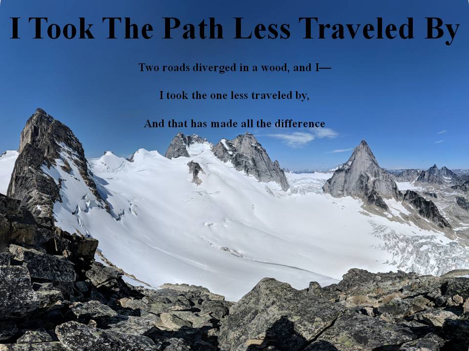
*I hope people use their own wise judgement when hiking always plan ahead and be prepared. One should never go beyond their abilities.*

Over the years I've had a few goals my first was to Summit all the Peaks of Waterton. Here is My Waterton Summit List I completed that goal on September 26, 2016.

My next goal I'm still working on and that is to summit the 6 10,000 foot Summmits of Glacier National Park. I have one left Kintla.

My 2018 Goal that I accomplished was to summit 40 peaks in my 40th year and that I finished on September 26, 2018.

Not sure what will be my next goal, once Glacier's Summits are done?

I commonly use 3 Hashtags on my social media. The first one is #itookthepathlesstraveledby which is to reference this blog. The next two relate to my father and grandfather who were also hikers. #milesformarkellingson is to remember my
Dad, Mark Ellingson and #dustfromthetrailandhowitsettledonme is to remember my Grandfather Earl Ellingson

December 26, 2016

Forum Ridge Snowshoeing December 26, 2016

Well today I hooked up with an old friend and we headed out on a snowshoeing adventure.  We left Raymond early and headed up to Waterton.  We had a beautiful sunrise on the drive and then decided upon attempting to get up Forum Ridge between Forum Lake and Cameron Lake.  I know of a bunch of people that go up there split boarding and figured if they can get up I'll try snowshoeing.  Well we drove to the barricade on the Cameron Lake road and started our journey.  We headed to the Akamina trail and took it as far as the B.C./Alberta border and then headed south on the cut-line.  It was pretty easy going at first blazing our trail (being the first set of tracks since the newly fallen snow from Christmas Eve/Day).  We eventually came to a very daunting steep section.  It was probably only about 50 meters of hiking but it was like straight up.  It probably took us close to two hours wading through waist deep snow on a crazy incline.  According to my tracker at one point it was a 49% incline.  I've hiked on loose scree where you feel like you go one step forward and two back, but this was like one step forward and like 4 back.  It was so exhausting, and the hiking poles were doing nothing cause they would never hit bottom anywhere.  We zigzagged, we tried using the trees and branches to pull us up, eventually I took off my snow shoes and that seemed to help, but just a little.  We eventually made it over that steep section and noticed that it was after 1:00 pm.  So we hiked a bit more but the clearing on the south of the ridge never came and so we got high enough to get a good view back of the valley behind us and got a sliver of a glimpse of Cameron Lake and Akamina Lake.  We then turned back and it was much faster on the way down.  For the steep section we just slide down on our butts and that section only took us about 5 minutes.  We eventually made it back to the vehicle and drove home.  Good time with a great friend!  I usually take more pictures but it was so cold that my battery on my camera died.

Beautiful Sunrise on Old Chief

Sunrise on Sofa Mountain

At the Alberta/B.C. border sign, notice how much snow is on top of that!

Fresh snow untouched up the cut-line

Looking down the cut-line

Our steep section

About as high as we got, Cameron Lake below with Carthew Peak on the left

Caught a glimpse of Mt. Custer in the distance as the clouds cleared for a moment

Sun broke through for just a second

On the way down the steep section

Looking back at that steep section, not sure if you can see our sliding path

There was so much snow on the trees today, beautiful

Following our tracks home on the cut-line
 
Map my hike track of hike


November 26, 2016

Crandell Mountain November 26, 2016

What a great day!  We headed up to Waterton early not knowing which mountain we wanted to climb and decided once we got there.  The mountains were pretty covered in snow and Crandell didn't seem as covered as the others..so voila we decided on Crandell and what a great choice it was.  We headed up Bear's hump and followed the ridge all the way to the peak.  Last time I had done this peak was in 2005 and we took the same route up.  Except this time we had to stay off the spine of the ridge as it was covered in snow a bunch of the time so our route finding was utilized greatly today.  We did have some pretty steep cliffs to climb up, luckily Crandell rock is pretty solid and the areas we had to climb were free of snow.  The views of the mountains today where spectacular and we were rewarded with a cloudless summit view.  It had been cloudy most of the way up but once we summited we had spectacular views all around.  The bad part about the views on top of Crandell is the ugly weather station and helicopter landing pad on the summit.  It made for an eye sore in my panorama summit picture.  The other times I had climbed this peak we had headed down the back west side to Crandell lake, but this time we headed down the north east ridge and came out by the ranger station.   We then had a short stroll back to the vehicle and then on to Wieners of Waterton for supper!

Cloudy view we had just above Bear's Hump

I think I took 100 different pictures of Waterton Lake today

Me on the way up

I love how the sun reflected off the lake today

That is Tanner on top of that peak

Nearing the top, this was one of the many false summits of Crandell

Blazing a trail in the snow

Mt. Blakiston off in the distance

Finally a view of the true summit (left of center)

Another view and picture of Waterton Lake

Beautiful view of Sofa, Vimy Boswell, Chief and Cleveland

Trying to navigate the snowy ridge

Finally at the top

Not much of a Cairn

Blazing a trail on the way down

Another great view and now the Prince of Wales hotel is in view!

Never noticed the flood plain drainage before, kind of neat looking from above

Snow getting a little less as we descended

Frozen waterfall on the way down

Looking back where we had come, that snowy ridge is the North east ridge of Crandell where we came down

Sun set behind the mountains

Map My Hike Track of Hike (lost signal for last little bit)

Panorama on Summit

2nd Panorama on Summit

Video on Summit


November 11, 2016

Vimy Ridge/Peak November 11, 2016

A few years ago I had the idea that I should hike Vimy Peak/Ridge on Remembrance Day.  Well a few years passed with some miserably cold and snowy Novembers.  Then 2016 came and the weather was terrific and there was little snow in Waterton.  So my faithful hiking partner (my son) and I headed out Remembrance Day morning.  We had to bike the first about 7 km on the trail and then we headed up to Vimy Peak.  I had wanted to reach the summit by 11:11 am so that we could have our own little Remembrance Day ceremony at the top.  I had packed a portable Bluetooth speaker and brought some poppies and my Canadian Flag.  We got to the summit by about 11:08 and got all the stuff out and had our little ceremony.  As I was playing Last Post on my speakers I looked at my clock and it was exactly 11:11 and even 11 seconds! The wind was about the only thing that spoiled this perfect moment.  We played Last Post, had a moment of silence and then I even played the Rouse to end it off.  We then took a few pictures with the flag and poppies and then left a poppy on the summit and one in the register.  The flag I took on this summit I have had in my possession for 20 years and it has gone with me everywhere (I got the flag from a government program in 1996 where Sheila Copps initiated a program to promote patriotism and gave away free Canada flags).  I have had it pinned up in every place I've lived in the last 20 years.  So I took it off the wall the night before and flew it proudly today on Vimy Peak.  Well after this we ate some lunch and headed over to Vimy Ridge.  The ridge traverse was good except it was some of the strongest winds I've had in Waterton.  Luckily the ridge wasn't very hazardous to traverse.  We eventually summited Vimy Ridge (Arras Peak) (which was the only true summit I didn't have proof that I had done before, ie. a picture as evidence) and headed back to our bikes.  We got back to our vehicle just as the sun was setting on the horizon.  We started driving home when I noticed that in the rear view mirror the sun was setting on Vimy Peak.  So I stopped the vehicle and got a nice sunset picture on Vimy Peak, a fitting end to a great day.  These were summits 21 and 22 for the year.

The sunrise on Chief Mountain on our way to Vimy

On the bike ride we scared off this herd of elk twice

Crossing the stream

Beautiful morning in Waterton

If you didn't have to bike to here the hike up Vimy would be very short

We saw a bunch of fresh tracks in the mud on the trail on the way up but luckily never saw any bears, check out the claw prints on that bear

Beautiful view from Vimy, one of my favorites but the poppy adds the finishing touch to this days view

Carter holding the flag for a picture

Now my turn to get a flag picture, summit #1 for the day

Now we both had to have a picture, luckily I had my trusty little tri-pod

Another view from Vimy

Looking towards our next goal for the day Vimy Ridge (located in the upper left had corner of picture)

Neat little window on the way to Vimy Ridge

Spectacular views of Crypt Lake

Crazy flat rock we found.  It was so smooth, like waking on a floor

Summit #2 for the day Vimy Ridge (Arras Peak)

My proof I finally got a picture on this summit

Another crazy flat rock that was smooth like the floor of a house

Coming down from Vimy Ridge looking towards Vimy Peak.  Notice the bowl full of snow, we got close to it and I bet a lot of snow accumulates in that bowl in the winter

Happy to be finished biking!

Sunset on the silhouette of Vimy Peak

Panorama on Vimy Peak

Video on Vimy Peak

Map My Hike Track of Hike

Panorama on Vimy Ridge (Arras Peak)

Video on Vimy Ridge (Arras Peak)